

This post was originally published on this site.
 Getty Images
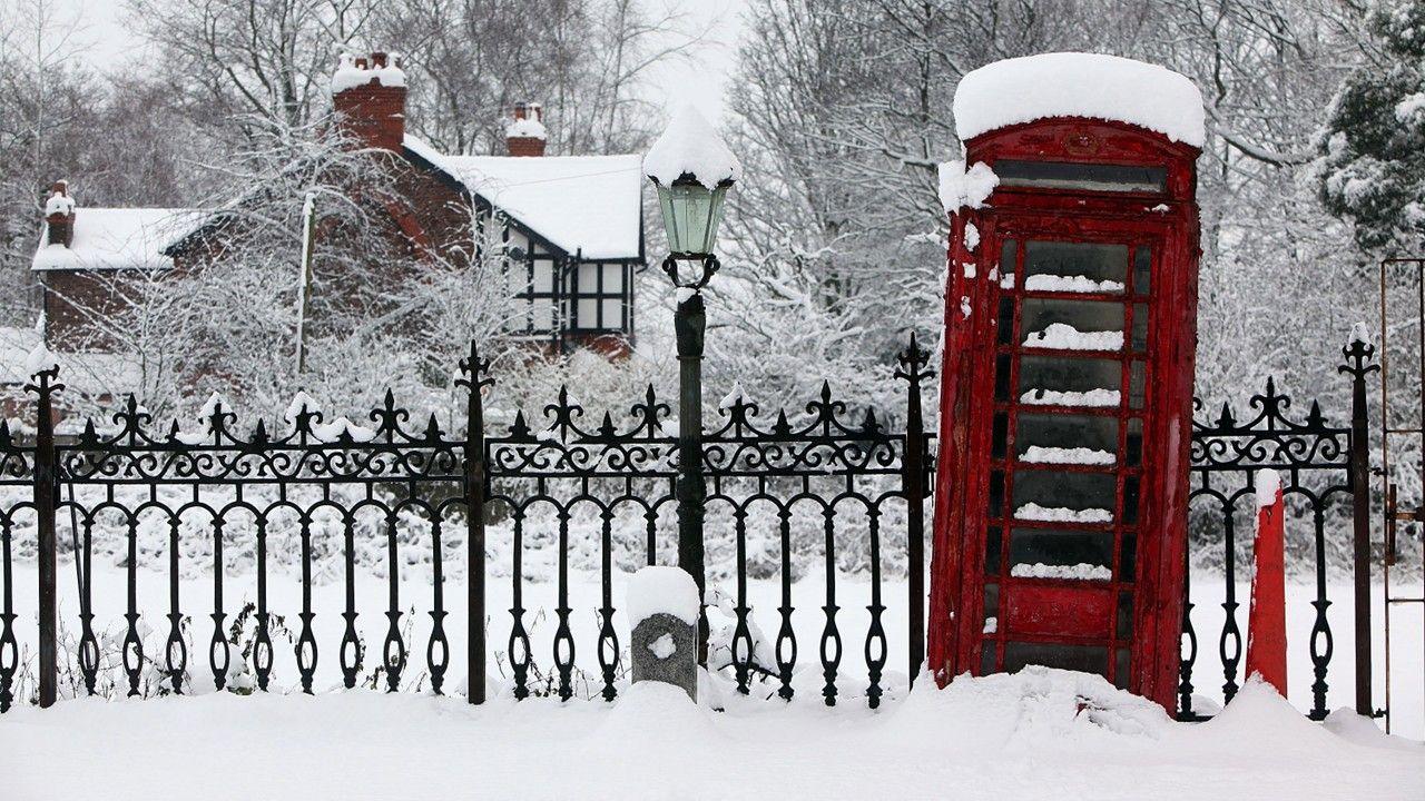
The festivities are fast approaching – but if you’re dreaming of a white Christmas you may end up disappointed.
Temperatures will drop this week as easterly winds develop, bringing cold air from eastern Europe.
However, high pressure will also be building which will mean a lack of widespread precipitation – and hence little chance of widespread snow.
It is possible that a few wintry showers could drift into southern parts of the UK – or that thick cloud in north-eastern areas could produce the odd flake of snow – so in technical terms a white Christmas is still possible.
Turning chilly
December has so far mostly been dominated by low pressure, bringing outbreaks of heavy rain and mild westerly or southerly winds.
This is now starting to change, thanks to high pressure, which is going to build strongly across Scandinavia before drifting across the northern half of the UK – just in time for Christmas.
Combined with low pressure which will be centred over southern Europe or north Africa, this will mean a feed of chilly easterly winds.
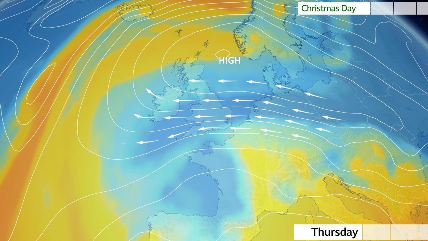
Initially there will be a lot of cloud, which could produce some spots of drizzle or even the odd flake of snow over high ground.
However, by Christmas Day more sunshine is expected, albeit with windy conditions in southern areas.
Overnight frost and fog are also possible.
-
Weather for the week ahead
-
15 hours ago
-
Will it be a White Christmas?
Join BBC Weather’s Carol Kirkwood, Matt Taylor and Barra Best, along with famous faces Jeremy Vine and Lucy Porter, to explore where our fascination with a white Christmas comes from.
Could it be a white Christmas?
Forecasting snow in the UK is notoriously difficult.
Partly it will depend upon exactly how cold the air moving across the UK is, but the other necessary ingredient is precipitation – something falling from the sky.
At the moment it looks like most places will be dry on Christmas Day, which will be welcomed in areas which have recently seen heavy rain such as Cumbria and south Wales.
However, a few computer weather models do hint at a little wet weather pushing across the Channel Islands and possibly fringing into the far south of England.
If this was to happen it could mean a little sleet or snow mixing in, especially over high ground.
It is also possible that thick cloud rolling into the east of Scotland could give a few flakes of light snow over the hills and mountains.
So the chances of a white Christmas are low – but not zero – and you can keep up to date with any changes in the forecast on the BBC Weather website and app.
What is a white Christmas?
The definition of a white Christmas is just a single snowflake recorded falling at any point during the 24 hours of 25 December at any of the Met Office’s network of around 300 weather observing stations.
Snow already lying on the ground on Christmas Day does not count.
An “official white Christmas” has happened more often than not since 1960, but new analysis of Met Office data by the BBC shows that snow falling on Christmas Day is rare for most of us – and getting rarer.
The last time the UK saw a widespread white Christmas was back in 2010, when snow fell at 19% of weather stations and, very unusually, 83% of stations reported snow lying on the ground.


